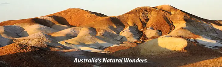
| Australia's Natural Wonders |
Ululu (Ayers Rock), NT
Location: The Red Centre, Northern Tarritory
Uluru, also referred to as Ayers Rock, is an iconic sandstone rock formation one of Australia's most recognisable natural icons. The world-renowned sandstone formation stands 348 m high (863 m above sea level) with most of its bulk below the ground, and measures 9.4 km in circumference in is located the southern part of the Northern Territory.
The rock lies 335 km south west of the nearest large town, Alice Springs; 450 km by road. Uluru is listed as a World Heritage Site.
Both Uluru and its neighbour Kata Tjuta (The Olgas) have great cultural significance for the Anangu Traditional landowners, who lead walking tours to inform visitors about the local flora and fauna, bush foods and the Aboriginal dreamtime stories of the area. It has many springs, waterholes, rock caves and ancient paintings.
The local Anangu do not climb Uluru because of its great spiritual significance. They request that visitors not climb the rock, partly due to the path crossing a sacred traditional Dreamtime track, and also due to a sense of responsibility for the safety of visitors to their land.
The Anangu believe they have a spiritual connection to Uluru, and feel great sadness when a person dies or is injured whilst climbing. However they are resigned to the fact that 10% of the people who visit Uluru do climb it. The climb is strenuous, and on average, one person per month dies either directly (quite a number wander too far and fall off the edges) or indirectly as a result of climbing the rock.
Uluru is notable for appearing to change colour as the different light strikes it at different times of the day and year, with sunset a particularly remarkable sight when it briefly glows red. Although rainfall is uncommon in this semi-arid area, during wet periods the rock acquires a silvery-grey colour, with streaks of black algae forming on the areas that serve as channels for water flow.
Uluru is an inselberg, literally "island mountain", an isolated remnant left after the slow erosion of an original mountain range. Uluru is also often referred to as a monolith, although this is a somewhat ambiguous term because of its multiple meanings, and thus a word generally avoided by geologists.
The remarkable feature of Uluru is its homogeneity and lack of jointing and parting at bedding surfaces, leading to the lack of development of scree slopes and soil. These characteristics led to its survival, while the surrounding rocks were eroded. For the purpose of mapping and describing the geological history of the area, geologists refer to the rock strata making up Uluru as the Mutitjulu Arkose, and it is one of many sedimentary formations filling the Amadeus Basin.
![]()
A lesser seen view of Uluru
Its name
The local Pitjantjatjara people call the landmark Uluru. This word has no particular meaning in their language, also known as Pitjantjatjara, but it is also used as a local family name by the senior Traditional Owners of Uluru.
On 19th July 1873, the surveyor William Gosse visited Uluru and named it Ayers Rock in honour of the then-Chief Secretary of South Australia, Sir Henry Ayers. Since then, both names have been used, although Ayers Rock was the most common name used by outsiders until recently.
In 1993, a dual naming policy was adopted that allowed official names that consist of both the traditional Aboriginal name and the English name. On 15th December 1993, it was renamed "Ayers Rock/Uluru" and became the first officially dual-named feature in the Northern Territory. The order of the dual names was officially reversed to "Uluru/Ayers Rock" on 6th November 2002 following a request from the Regional Tourism Association in Alice Springs.
|
![]()
![]()
![]()
View Larger Map
|
|
|
|