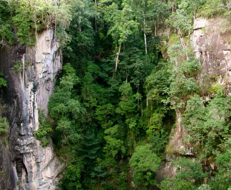


Mt Hypipamee National Park is centred around a deep, cylindrical volcanic pipe with a lake at the bottom. Several different forest types, within a small area, are home to remarkable diversity of possums. Located high on the southern Evelyn Tableland, in the Hugh Nelson Range, this park is centred around a diatreme or what is commonly referred to as a volcanic pipe or vent, thought to have been created by a massive gas explosion.
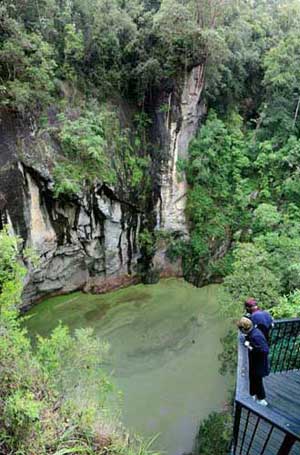
A platform at the end of a 400m walking track through the rainforest
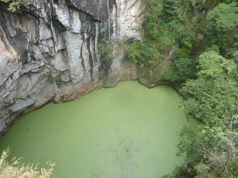
provides an uninterrupted view of the remaining crater. The crater is
less than 70m across with sheer granite walls (the surface rock through
which the gas exploded). Fifty-eight metres below the rim is a lake
about 82m deep covered with a green layer of native waterweed.
A remarkable variety of vegetation types, including high-altitude
rainforest, grows in this small park. It is a hot spot for possums with
several different species inhabiting the area and a good place for
seeing high-altitude birds.
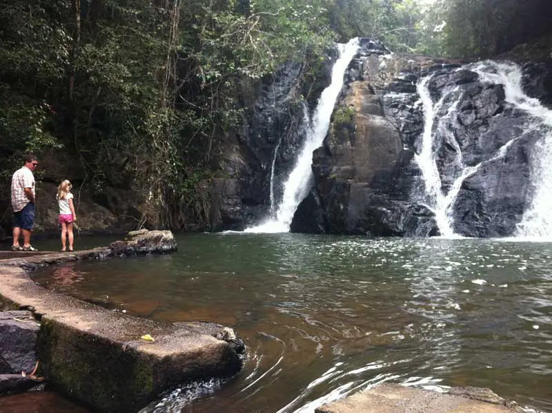
An alternative route back to the car park from the crater is the Dinner Falls Circuit Track leading to Dinner Falls, a series of cascades in the headwaters of the Barron River. The track surface is uneven with exposed rocks and roots and can be slippery when wet. Some sections are reasonably steep. This circuit can be walked in either direction.
Mount Hypipamee National Park is next to the Kennedy Highway, 25km
south of Atherton. Atherton is 96km from Cairns via the Kennedy Highway
and 80km via the Gillies Highway. The park can also be reached from
Malanda (15km) via a partially unsealed road.
Further information
QPWS Cairns Information Centre
5B Sheridan St, Cairns
PO Box 2066, Cairns QLD 4870
ph (07) 4046 6600
fax (07) 4046 6751
EPA Customer Service Centre
160 Ann Street, Brisbane
PO Box 15155, City East QLD 4002
ph (07) 3227 8185
fax (07) 3227 8749