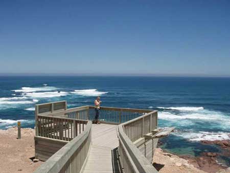


Without doubt, Westall Way – a scenic drive commencing from Streaky Bay – is one of the Eyre Peninsula’s best kept secrets and a boon for travellers who have just crossed or who are about to cross the Nullarbor Plain. Before commencing a journey along the Westall Way, the short drive from Streaky Bay to Cape Bauer is recommended. Matthew Flinders named Cape Bauer, Streaky Bay, after his Austrian botanical artist, Lucas Ferdinand Bauer, who produced some 2000 drawings on the Flinders’ ship, HMS Investigator.
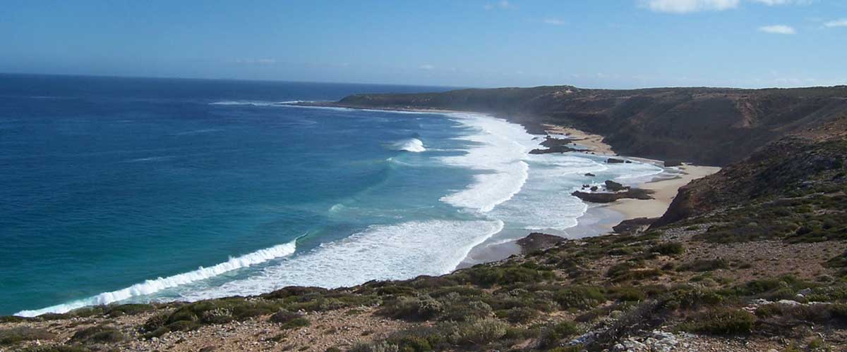
Dotted along Westall Way are rugged limestone cliffs, striking granite boulders covered in golden lichens, secluded granite pools and striking seascapes with foaming white breakers. Visiting Pt Westall, Corvisart Bay, the huge white Yanerbie sandhills, Tractor Beach, High Cliff, the Dreadnoughts, the Granites, Smooth Pool, Fishermans Paradise and Speeds Point, visitors often see White Sea Eagles who have made their territory in the area. A walking trail leads from Tractor Beach to High cliff.
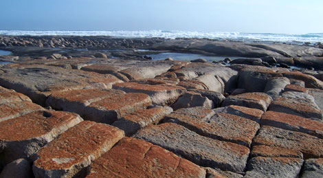
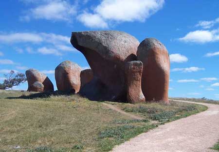
Granite rocks surrounding Smooth Pool
The Granites offers sweeping views to High Cliff and The Dreadnoughts. Its secluded granite rock pool with breaking seas in the background is picture postcard material. Smooth Pool is an excellent picnicking spot with magnificent blue water and breaking waves making the area a seascape photographer’s paradise. Smooth Pool itself is an eroding granite shelf that faces the full force of local westerly weather systems. The outcrop extends for several hundreds of meters and at low tide the area is studded with rock pools, some two metres deep. Beachcombers will find crabs, small fish, seaweeds, barnacles and the odd starfish living in intertidal pools.
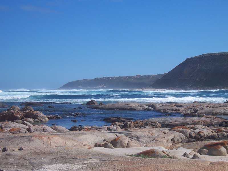
The Granites
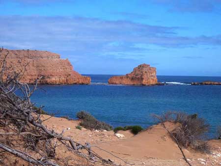
Sceale Bay (pronounced Scale) is a small holiday and retirement town 32 kilometres south of Streaky Bay. The permanent population of 28 can double or treble at holiday times. The town was proclaimed as the township of Yanera in October 1888, but having been earlier named Sceale Bay by Captain Bloomfield Douglas of the Royal Navy, most people continued calling it by that name, and Yanera was offically renamed Sceale Bay in 1940.
Dotted along Westall Way are rugged limestone cliffs, striking granite boulders covered in golden lichens, secluded granite pools and striking seascapes with foaming white breakers. Visiting Pt Westall, Corvisart Bay, the huge white Yanerbie sandhills, Tractor Beach, High Cliff, the Dreadnoughts, the Granites, Smooth Pool, Fishermans Paradise and Speeds Point, visitors often see White Sea Eagles who have made their territory in the area. A walking trail leads from Tractor Beach to High cliff.
Granite rocks surrounding Smooth Pool
The Granites offers sweeping views to High Cliff and The Dreadnoughts. Its secluded granite rock pool with breaking seas in the background is picture postcard material. Smooth Pool is an excellent picnicking spot with magnificent blue water and breaking waves making the area a seascape photographer’s paradise. Smooth Pool itself is an eroding granite shelf that faces the full force of local westerly weather systems. The outcrop extends for several hundreds of meters and at low tide the area is studded with rock pools, some two metres deep. Beachcombers will find crabs, small fish, seaweeds, barnacles and the odd starfish living in intertidal pools.
The Granites
Sceale Bay (pronounced Scale) is a small holiday and retirement town 32 kilometres south of Streaky Bay. The permanent population of 28 can double or treble at holiday times. The town was proclaimed as the township of Yanera in October 1888, but having been earlier named Sceale Bay by Captain Bloomfield Douglas of the Royal Navy, most people continued calling it by that name, and Yanera was offically renamed Sceale Bay in 1940.