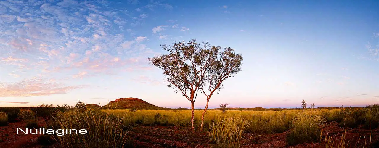
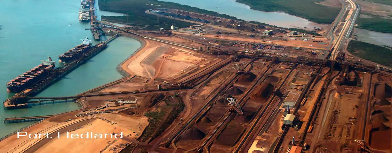
The Pilbara covers a geographical area of approximately 554,727 square kilometres (over 20 per cent of the State) and is home to 2.48% of Western Australia's population. The Hamersley Range dominates the Pilbara region. In the south the mountains slope gently up to flat-topped outcrops and in the north they rise majestically from golden spinifex plains.
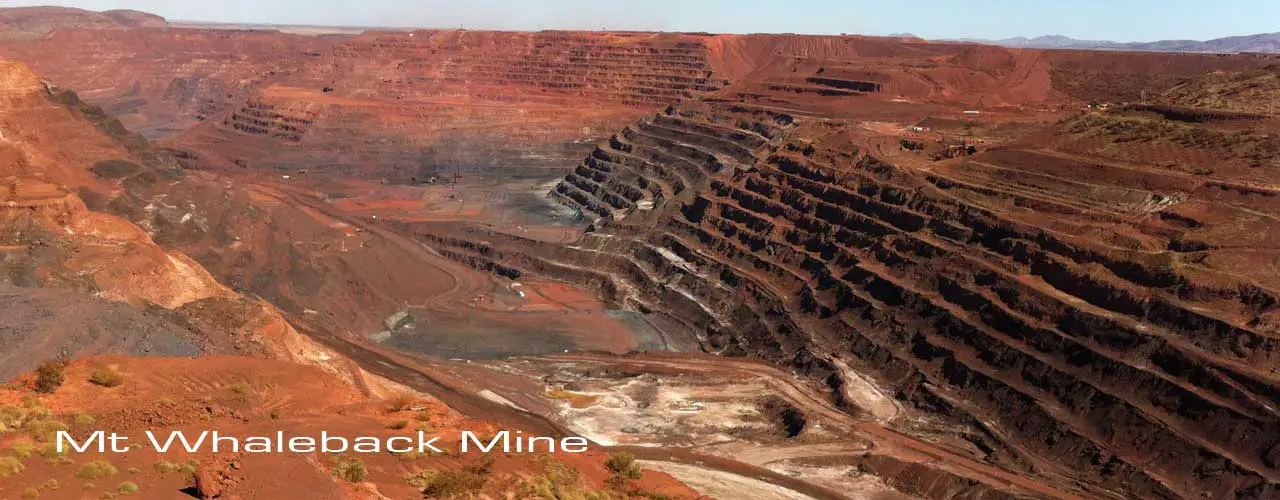
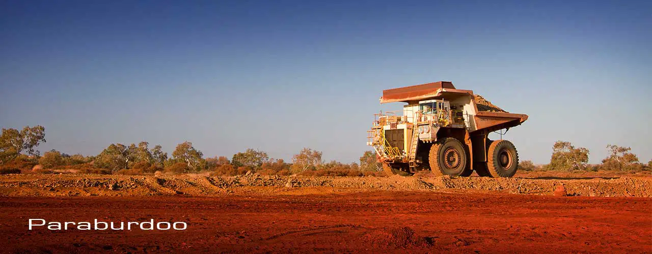
The main activity in the area is mining, centred at towns like Tom Price, Paraburdoo and Newman. The Pilbara came to national and international prominence during the 1960s when the go-ahead was given to extract iron ore deposits in the region.
Today the Pilbara economy is crucial to the State, providing two of the State's largest export revenue earners - iron ore and liquefied natural gas. Today, the Pilbara is Western Australia's largest mineral producing area, contributing $8 billion a year in natural resource sales, an amount representing 26 per cent of the gross national product.
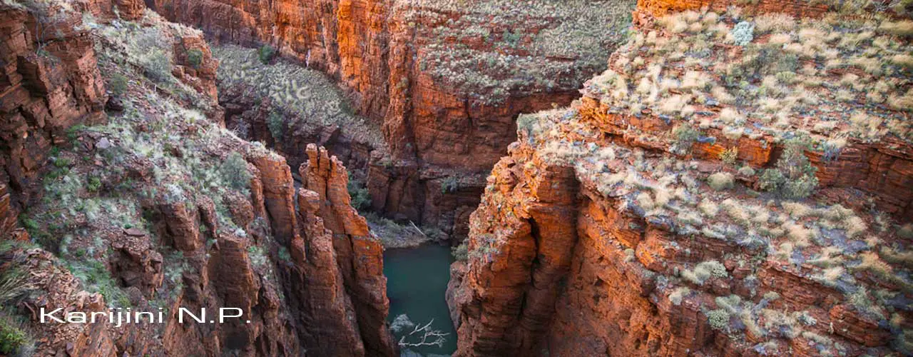
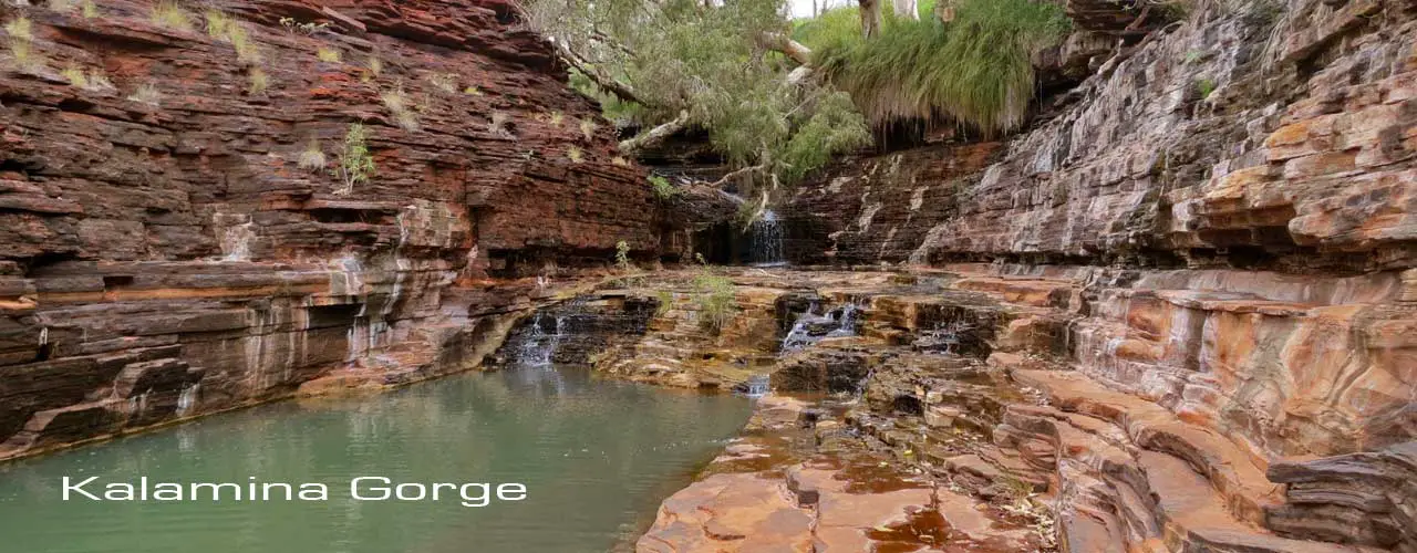
One of Australia's most spectacular national parks, Karijini is haunting in its rugged, red beauty. The park is famous for its sheer gorges, waterfalls and cool swimming holes. Located in the heart of the Hamersley Range which dominates the Pilbara Region of WA, Karijini has a system of excellent walk trails of varying levels, for the beginner to the adventurous, which will lead you deep into the subterranean gorges and through waterfalls where you can dive into sparkling rock pools.
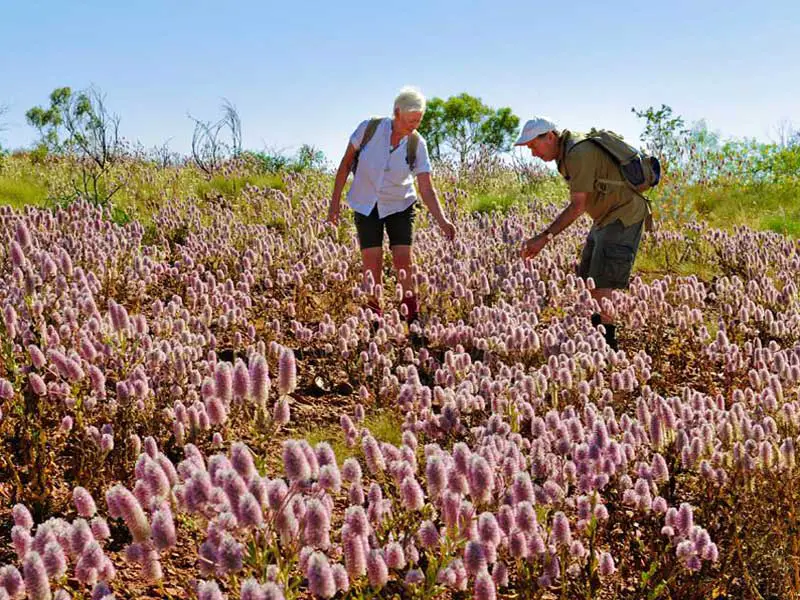
Pilbara Wildflowers Trail
The wildflowers of the Pilbara region, in Western Australia's North West, are quite different to those found further south. Over half a million square kilometres of mangroves, off shore islands, deep gorges, mountain ranges, desert sand dunes and river pools ensure the Pilbara's flora is as diverse as the landscape. Vibrant floral shades contrast with the dusty red earth and golden spinifex grass. Watercourses are lined with river red gums, coolibah, silver cadjeput and desert bloodwood trees. Gorges contain permanent water supplies to support moisture loving plants like the common rock fig and rock kurrajong.
How To Get There

Because of the vast distances between localities, and that many highlights can only be reached by road, serious consideration should be given to touring the area by motor vehicle, unless you only have the time or inclination to visit a single locality. In such cases, way up carefully the cost and time involved in going to just one locality. Many travellers who have done that feel it did not provide value for money and wished they had made alterative travel arrangements or not gone at all.
By air, Skywest Airlines operate a twice daily service between Perth and Exmouth, Carnarvon, Geraldton, Kalbarri and Shark Bay, and a weekly service (on Sundays) between Broome and Exmouth.
By road, travel north from Perth on Great Northern Highway, taking Brand Highway at Muchea to enter the region via the coastal road (Carnarvon, Exmouth). Alliteratively, continue north on Great Eastern Highway to the Pilbara region via Meekatharra.
Best Time To Go
June to November are the best times to visit the region. Tropical cyclones are a prevalent part of the region north of Kalbarri between December and April. Most rainfall occurs in the monsoon season. Temperatures rise above the old farenheit century on a regular basis up and down these shores in those months, particularly in January. July to November is wildflower season, with the best blooms around September to November.
Tours
Activities
Design by W3Layouts | Content © 2013 Phoenix Group Co. | Sales: phone 1300 753 517, email: [email protected]

