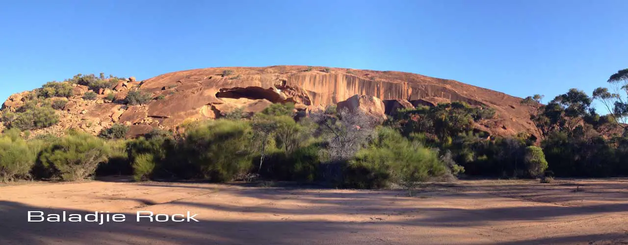
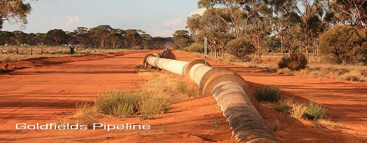
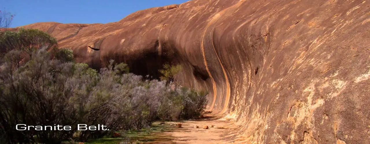
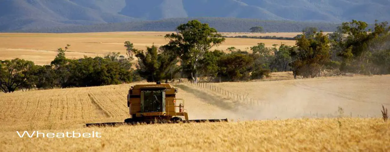
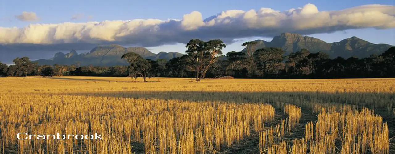
The Central Agricultural Area of Western Australia, which includes the Western Australian Wheatbelt, covers a vast area that extends from west to east from the Indian Ocean in the west to the western edge of the Goldfields. The area encompasses some of the most productive agricultural areas of the state and the wheat fields in Australia, in an area more three times the size of Tasmania.
The region's economy has historically been based on agriculture, particularly cropping, which remains the most dominant industry in the region but it is also supported by mining, commerce, manufacturing, fishing and tourism.
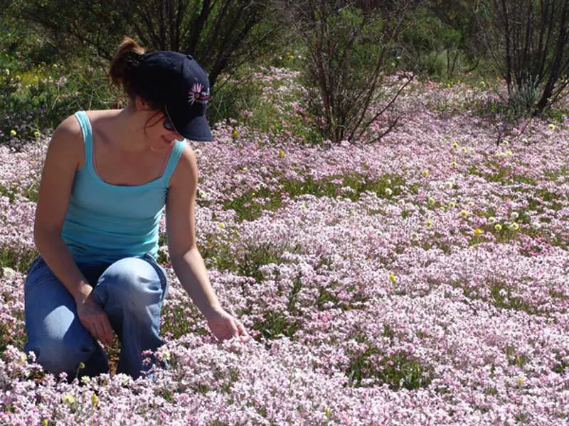
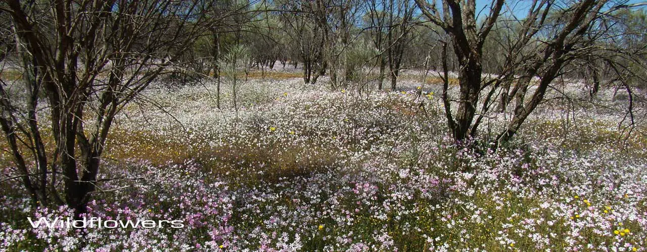
Western Australian Wildflowers are spectacular, exotic and in some cases rare and the central agricultural district boasts some of the finest arrays of Western Australia's best wildflowers. Thoughout the region, between August to November, wildflowers are often seen as a vivid carpet of colour beside the roads and highways.
How To Get There

The Central Agricultural region of Western Australia surrounds the city of Perth, and can therefore be reached by taking any of the major highway out of Perth to the north, east and south east. The Northern Agricultural region is accessed via Gt Northern Highway through Guildford, Midland and Bullsbrook. The Central Wheatbelt is accessed via Gt Eastern Highway, over the Darling Scarp, to Mundaring and Northam.
Best Time To Go
The inland regions beyond Perth could also be described as having a temperate Mediterranean climate, however the further east one travels the more arid the environment becomes. Inland temperatures are more extreme than the coast (summers are hotter and drier, winters are colder) and rainfall is much less throughout the year. Wildflowers are in full bloom throughout the region between August and december.
Tours
Activities
Design by W3Layouts | Content © 2013 Phoenix Group Co. | Sales: phone 1300 753 517, email: [email protected]
