![]()
Waukarie Falls
This is a lovely picnic spot situated at the top end of Richman Valley 16 km from Quorn. The falls only flow after a heavy rain. In Winter and Spring there are many pools of water and beautiful Golden Wattle along this creek. A slow walk down stream along the Waukarie Creek is recommended.
Location: Richman Valley Road, south of Quorn, SA
![]()
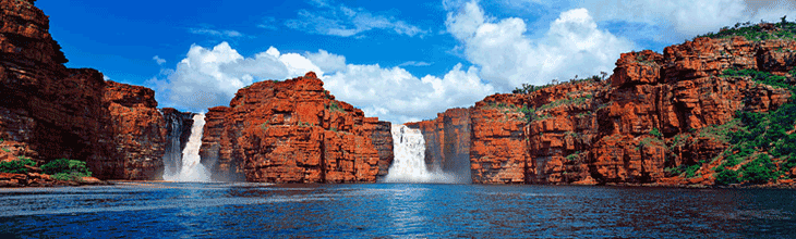
Edeowie Falls
These falls, like most in the Flinders Range, only flow after heavy rains, and there are some years when it does not flow at all. They can be found on the walk through Edeowie Gorge.
Location: Wilpena Pound, Flinders Ranges, SA
![]()
Rawnsley Park Station at dusk
Fern Tree Falls
These falls are at the end of a walking trail, which has a spectacular rock face even when it is dry. The falls are with Rawnsley Park Station which adjoins the Flinders Ranges National Park on the western edge of Wilpena Pound.
Location: Rawnsley Park, Flinders Ranges, SA
|
![]()
Malloga Falls
These falls, like most in the Flinders Range, only flow after heavy rains. The falls are towards the end of a long, flat trail that traverses the floor of Wilpena Pound to the spectacular, yet unstable rock faces of remote Edowie Gorge.
Location: Wilpena Pound, Flinders Ranges, SA
Glenora Falls
These falls, like most in the Flinders Range, only flow after heavy rains. The falls are beyond Malloga Falls in the remote Edowie Gorge.
Location: Wilpena Pound, Flinders Ranges, SA
Kanalla Falls
These falls are on a 16 km return walk on Edeowie station. Like most in the Flinders Range, only flow after heavy rains.
Location: Edeowie Station, Flinders Ranges, SA
![]()
Kolay Mirica Falls
These falls are a feature of one of the most interesting parts of the Gawler Ranges National Park where you can explore the organ pipes – unique volcanic rock formations. These octagonal columns are made from the volcanic rhyolite, formed after volcano eruption some 1,500 million years ago. Ash and lava created a solid rock up to 1,500 meters thick, which after the cooling formed what we call now as organ pipes. This waterfall is located in the north-east part of the park and accessible via a 4WD-only road. Track starts not far from the “Paney Homestead” and intersection with turn onto the Barn Road to Wudinna. From there to waterfalls is about 17 kilometres, see park brochure for details. The falls are generally dry except after rain, but are still worth a look.
Location: Gawler Ranges National Par, 40km north of Wudinna and 40km north-east of Minnipa, access to the Park is through Wudinna, Minnipa and Kimba.
|