![]()
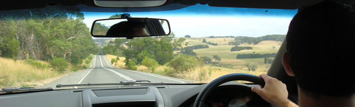
Hume Highway north of Melbourne
MELBOURNE TO SYDNEY:
The Hume Highway (31) is the inland route passing through Albury and Goulburn, and from Yass or Goulburn, the Barton and Federal Highways lead to Canberra.
The Princes Highway (1) mainly follows the coast passing through Sale, Orbost, Bega, Kiama and Wollongong
SYDNEY TO BRISBANE:
The Pacific Highway (1) follows the coast through Newcastle, Grafton and the Gold Coast
New England Highway (15) takes an inland route from Newcastle and passes through Tamworth, Glen Innes and Ipswich.
![]()
Bruce Highway, Murrumba Downs
BRISBANE TO ROCKHAMPTON: Section 1:
The Bruce Highway (1) mainly follows the coast between Brisbane and Cairns passing through Nambour, Gympie, Maryborough and Gladstone.
The world heritage area of Fraser Island will be found just east of Maryborough at Hervey Bay.
ROCKHAMPTON TO CAIRNS: Section 2:
The Bruce Highway (1) Follows the Great Barrier Reef and the coastline through Mackay, Bowen, Townsville and Innisfail to Cairns
![]()
Western Freeway (M8 Motorway) between Ballarat and Melbourne
MELBOURNE TO ADELAIDE:
The Princes Highway (1) follows the coast through Geelong, Warrnambool, Portland, Mount Gambier and Murray Bridge to Adelaide. The Great Ocean Road leaves it at Geelong and rejoins near Warrnambool. Two 'Alt 1' routes pass through quaint villages and fishing ports between Portland and Mt. Gambier, and Millicent and Kingston.
The Dukes and Western Highways (8)
This dual named highway takes the inland route from Adelaide to Melbourne and passes through Ballarat, Ararat, Horsham, Nhill and Bordertown to join the Princes Highway at Tailem Bend in South Australia. The Grampians National Park is just south of the highway near Stawell.
![]()
Stuart Highway
ADELAIDE TO ALICE SPRINGS:
The Stuart Highway (87) Section 1: leaves Adelaide and heads north between the Flinders Ranges and Gulf St. Vincent and Spencer Gulf, through Port Pirie to Port Augusta where it joins the Eyre Highway to Perth (1). It then heads directly north through Pimba and Woomera, Coober Pedy and Marla, across the Northern Territory border to Erldunda where it meets the highway to Ayers Rock (Uluru) which heads west, it continues on to Alice Springs.
The Stuart Highway (87) Section 2: leaves Alice Springs and heads north through Barrow Creek and Tennant Creek where it meets the Barkly Highway (66) from Mount Isa in Queensland. It continues on through Elliot and Mataranka to Katherine where it meets and joins the Victoria Highway (1) from Western Australia before passing through Adelaide River to Darwin.
![]()
Sturt Highway at Gumly Gumly
ADELAIDE TO SYDNEY:
The Sturt Highway (20): Heads east from Adelaide skirting the Barossa Valley and passing through the Riverland towns of Berri and Renmark before crossing into Victoria and reaching Mildura. It follows the Murray River for much of its journey to here. Crossing the River it passes into New South Wales and continues east through Balranald to Hay where it meets the alternative route to Sydney via the
Mid Western Highway (24) which passes through West Wyalong and Bathurst and enters Sydney via the Blue Mountains.
The Sturt Highway continues through Narrandera and Wagga Wagga to join the Hume Highway (31) between Adelaide and Melbourne.
![]()
Eyre Highway at Nullarbor Roadhouse
ADELAIDE TO PERTH:
Eyre Highway (1) The Eyre Highway is part of the Highway 1 System around Australia. From Adelaide to Port Augusta it is common to the Stuart Highway and from there heads west through Kimba, Kyancutta and Ceduna, to Cross the border into Western Australia. From there it continues on through Eucla and Cocklebiddy to Norseman where it turns south and is renamed the Esperance Highway. It reaches the coast and continues through Ravensthorpe and Albany, Manjimup and Bunbury to Perth. Nullarbor Plain crossing map and information
![]()
North West Coastal Highway
PERTH TO DARWIN:
North West Coastal Highway (1) takes the coastal route from Perth through Geraldton, Carnarvon and Karratha to Port Hedland and Broome, before heading east to become the Victoria Highway near Kununurra and then on to Katherine in the Northern Territory.
Great Northern Highway (95) An alternative, inland route to Darwin will take you from Perth through Cue and Newman to Port Hedland where the highway joins Highway 1. to head to the Northern Territory.